From Point Clouds to Building Models: Exploring the Process of Scan to BIM in Digital Construction
Welcome to the fascinating world of digital construction, where cutting-edge technology is transforming the way buildings are designed, constructed, and maintained. In this blog post, we are diving deep into the captivating process known as Scan to BIM – a revolutionary technique that seamlessly converts point clouds into accurate and detailed building models. Join us on this exhilarating journey as we unravel the mysteries behind this advanced method and explore how it is reshaping the future of architecture and construction. Whether you’re an industry professional or simply curious about the latest advancements in 3D modeling, get ready to be amazed by the wonders of Scan to BIM!
Introduction to Scan to BIM in Digital Construction
As the world of construction becomes increasingly digitized, the process of scan to BIM is becoming more and more important. But what exactly is scan to BIM?
Scan to BIM is the process of using 3D scanning technology to create a building model. This model can then be used for a variety of purposes, such as construction planning, clash detection, and even asset management.
There are a few different ways to go about scan to BIM. The most common method is called terrestrial laser scanning (TLS). TLS involves setting up a scanner on the ground and taking measurements from multiple angles. These measurements are then fed into a computer, which creates a 3D model of the space.
Another method is called dronescanning, which as you might guess, uses drones instead of ground-based scanners. This method is often used for larger projects where it would be impractical to set up multiple ground-based scanners.
The benefits of scan to BIM are numerous. Perhaps the most obvious benefit is that it allows you to create an accurate representation of a space without having to physically visit the site. This can save a lot of time and money, especially on large projects
What is Point Cloud Data?
Point cloud data is a three-dimensional representation of an object or environment created using laser scanning technology. This data can be used to create detailed models of objects and environments for a variety of purposes, including virtual reality simulations, architectural rendering, and engineering analysis.
Laser scanning technology works by emitting a laser beam and measuring the time it takes for the beam to bounce back off of an object or surface. This information is then used to calculate the distance between the scanner and the object, which can be used to create a three-dimensional representation of the object or environment.
There are a variety of software programs that can be used to process point cloud data into usable models. These programs typically involve converting the point cloud data into a mesh, which is a simplified representation of the object or environment that can be more easily manipulated.
Once the point cloud data has been converted into a mesh, it can then be exported into a variety of file formats for use in different software programs. For example, it can be exported as an .OBJ file for use in 3D modeling software or as an .FBX file for use in game engines.
Point cloud data is becoming increasingly popular in the construction industry as it provides a more accurate way to model buildings
How is Point Cloud Data Used in Digital Construction Models?
As construction projects become more complex, the need for accurate and up-to-date digital construction models is increasingly important. One of the most important aspects of these models is the point cloud data that is used to create them.
Point cloud data is a set of three-dimensional points that represent a real-world object or environment. This data can be captured using laser scanners or other similar devices. Once captured, the data can be used to create detailed digital models of the object or environment.
There are many ways that point cloud data can be used in digital construction models. One common use is for clash detection. This is where two or more elements of the model are compared to see if they occupy the same space. This can be useful for avoiding potential problems during construction.
Another common use for point cloud data is to create as-built models. These are models that represent the actual construction that has been completed, rather than the design intent. As-built models can be very useful for future projects, as they can provide an accurate representation of existing conditions.
Point cloud data can also be used to create visualizations of construction projects. These visualizations can be used for marketing purposes, or simply to give stakeholders a better understanding of the project.
Process of Converting Point Clouds Into 3D Digital Construction Models
The process of converting point clouds into three-dimensional (3D) digital construction models is a multi-step process that begins with the capture of data using 3D laser scanning technology. This data is then processed and converted into a point cloud, which is a collection of points in three-dimensional space. The next step is to convert the point cloud into a format that can be used by CAD software, such as Autodesk Revit or Bentley MicroStation. This conversion process can be done manually or through the use of specialized software. Once the point cloud is in a compatible format, it can be imported into CAD software and used to create a 3D digital construction model.
The accuracy of the final model depends on the quality of the data captured in the initial scan, as well as the accuracy of the software used to convert the point cloud into a usable format. In general, however, the process of scan to BIM (building information modeling) is an effective way to create accurate 3D digital construction models from real-world objects.
Benefits of Using Scan to BIM in Digital Construction
There are many benefits of using scan to BIM in digital construction. By digitizing the construction process, you can improve communication and collaboration between project stakeholders, as well as reduce the risk of errors and omissions. Additionally, you can use scan to BIM to create a more efficient and coordinated workflow between the design and construction teams.
Some other benefits of using scan to BIM include:
Challenges and Limitations of Using Scan to BIM in Digital Construction
Building Information Modeling (BIM) has been a game changer for the construction industry, allowing for better coordination among project stakeholders, improved accuracy in documentation, and reduced rework. However, BIM is only as good as the data that goes into it. When it comes to existing buildings, this data often comes from laser scanning technology.
However, scanning existing buildings and converting the point cloud data into a useable BIM model comes with its own set of challenges and limitations. These include:
- Time – A typical scan of an existing building can take several hours, depending on the size and complexity of the structure. This scan time needs to be factored into the overall construction schedule.
- Cost – Laser scanning equipment is not cheap and there is a cost associated with hiring someone to operate it. In addition, point cloud data can be very large files that can be costly to store and manage.
. Accuracy – While laser scanning is generally very accurate, there are always potential issues that can impact the quality of the data, such as reflectivity of surfaces, occlusions, and line-of-sight issues. These need to be considered when interpreting the point cloud data.
- Useability – Not all point clouds are created equal and some can be more difficult to work with than others. This is often due to the way they were captured or the software used to process them. As such, it’s
Conclusion
Overall, the process of scan to BIM offers a number of advantages for digital construction. It significantly reduces time and effort spent on manual modeling while increasing accuracy and creating an invaluable asset in the form of a digital twin. By understanding the basics of point cloud data collection and how this is used to generate a building model, it’s possible to make better use of advanced technologies such as LiDAR scanning and photogrammetry, making it easier than ever before to build high-quality projects with minimal delays.
Popular Posts
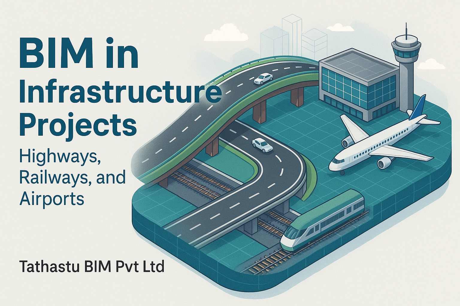
BIM in Infrastructure Projects: Highways, Railways, and Airports

Streamlining Interiors: How BIM Transforms Project Timelines, Teamwork, and Client Coordination with Tathastu BIM Pvt Ltd

Unlocking Productivity in Revit: Key Benefits of the Alpha BIM Plugin
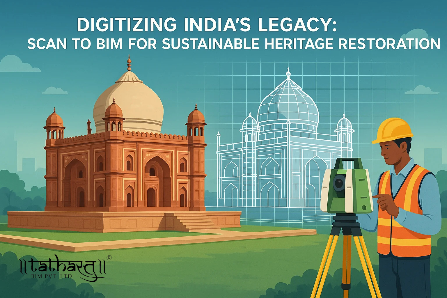
Digitizing India's Legacy: Scan to BIM for Sustainable Heritage Restoration

Design Smarter, Cut Less: BIM’s Answer to Jungle Loss in Andhra